by SPC Forecast Products | Nov 12, 2024 | Weather and Emergency Alerts
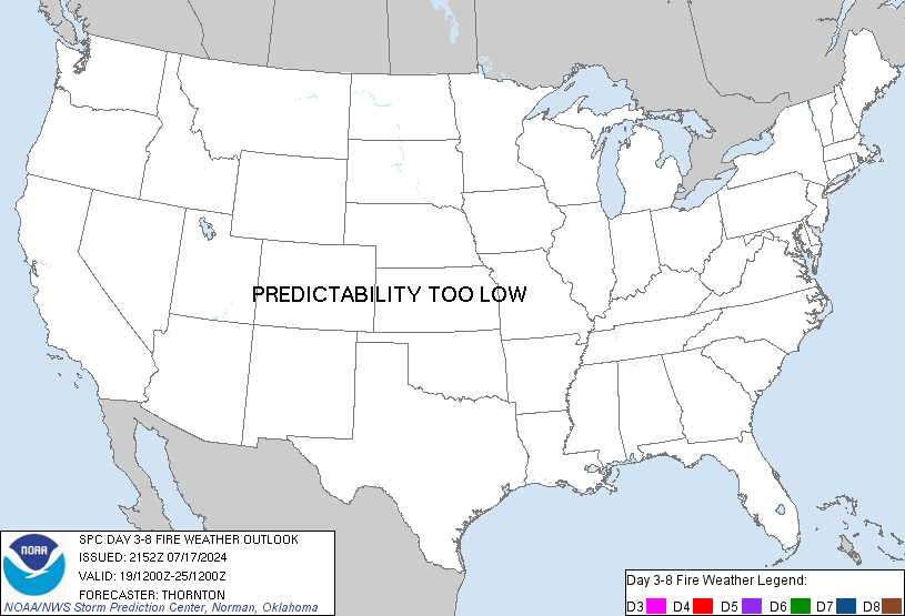
SPC Day 3-8 Fire Weather Outlook

Day 3-8 Fire Weather Outlook
NWS Storm Prediction Center Norman OK
0335 PM CST Tue Nov 12 2024

Valid 141200Z - 201200Z

Upper-level troughing is expected over both the East and West Coasts
Day 3/Thursday - Day 5/Saturday, with upper-level ridging slowly
shifting from over the central US to over portions of the eastern
US. There is forecast uncertainty regarding how this amplified
upper-level pattern progresses early next week, which will have
ramifications for potential fire weather concerns in
southern/central California and the Northeast.

...Northeast and Mid-Atlantic...
An approaching warm front with associated cloud cover and possible
shower activity will limit fire weather concerns across the
Mid-Atlantic and into portions of the Northeast on Day 3/Thursday.
However, dry/breezy conditions are likely to develop across portions
of the Mid-Atlantic and Northeast Day 4/Friday - Day 6/Saturday.
Given the recent drought, lack of forecast rain, and near to record
high fire danger, 40% probabilities were expanded and introduced
during what appears to be a multi-day fire weather episode. Some
forecast uncertainty remains regarding forecast precipitation and
where the greatest overlap of elevated/critical winds/RH will be,
but confidence is increasing in at least elevated fire weather
conditions for portions of New Jersey, eastern Pennsylvania, the
Hudson Valley/vicinity, and southern New England late this week
through the weekend.

...Southern/central California...
Breezy/gusty north-northwest winds are possible in portions of
central/southern California Day 5/Saturday into Day 7/Monday as
multiple cold fronts sweep south and east over the region. The
southern extent of forecast precipitation and the magnitude of these
winds remain uncertain precluding 40% areas at this time. Confidence
is increasing in an offshore/Santa Ana wind event mid-next week,
which is on the edge of the outlook period. This event may start on
Day 8/Tuesday and last multiple days. This will be monitored and if
trends hold, probabilities will likely be added in subsequent
extended outlooks.

..Nauslar.. 11/12/2024

...Please see www.spc.noaa.gov/fire for graphic product...
Read more

by SPC Forecast Products | Nov 12, 2024 | Weather and Emergency Alerts
SPC Day 3-8 Fire Weather Outlook

Day 3-8 Fire Weather Outlook
NWS Storm Prediction Center Norman OK
0335 PM CST Tue Nov 12 2024

Valid 141200Z - 201200Z

Upper-level troughing is expected over both the East and West Coasts
Day 3/Thursday - Day 5/Saturday, with upper-level ridging slowly
shifting from over the central US to over portions of the eastern
US. There is forecast uncertainty regarding how this amplified
upper-level pattern progresses early next week, which will have
ramifications for potential fire weather concerns in
southern/central California and the Northeast.

...Northeast and Mid-Atlantic...
An approaching warm front with associated cloud cover and possible
shower activity will limit fire weather concerns across the
Mid-Atlantic and into portions of the Northeast on Day 3/Thursday.
However, dry/breezy conditions are likely to develop across portions
of the Mid-Atlantic and Northeast Day 4/Friday - Day 6/Saturday.
Given the recent drought, lack of forecast rain, and near to record
high fire danger, 40% probabilities were expanded and introduced
during what appears to be a multi-day fire weather episode. Some
forecast uncertainty remains regarding forecast precipitation and
where the greatest overlap of elevated/critical winds/RH will be,
but confidence is increasing in at least elevated fire weather
conditions for portions of New Jersey, eastern Pennsylvania, the
Hudson Valley/vicinity, and southern New England late this week
through the weekend.

...Southern/central California...
Breezy/gusty north-northwest winds are possible in portions of
central/southern California Day 5/Saturday into Day 7/Monday as
multiple cold fronts sweep south and east over the region. The
southern extent of forecast precipitation and the magnitude of these
winds remain uncertain precluding 40% areas at this time. Confidence
is increasing in an offshore/Santa Ana wind event mid-next week,
which is on the edge of the outlook period. This event may start on
Day 8/Tuesday and last multiple days. This will be monitored and if
trends hold, probabilities will likely be added in subsequent
extended outlooks.

..Nauslar.. 11/12/2024

...Please see www.spc.noaa.gov/fire for graphic product...
Read more
by SPC Forecast Products | Nov 12, 2024 | Weather and Emergency Alerts
No watches are valid as of Tue Nov 12 21:42:01 UTC 2024.
by SPC Forecast Products | Nov 12, 2024 | Weather and Emergency Alerts
No Mesoscale Discussions are in effect as of Tue Nov 12 21:42:01 UTC 2024.

by SPC Forecast Products | Nov 12, 2024 | Weather and Emergency Alerts
SPC 2000Z Day 1 Outlook

Day 1 Convective Outlook
NWS Storm Prediction Center Norman OK
0158 PM CST Tue Nov 12 2024

Valid 122000Z - 131200Z

...THERE IS A MARGINAL RISK OF SEVERE THUNDERSTORMS FOR PORTIONS OF
THE SOUTHERN HIGH PLAINS...

...SUMMARY...
Isolated strong to severe thunderstorms may impact parts of the
Texas South Plains and Oklahoma/Texas Panhandle vicinity into far
southwestern Kansas this evening, possibly accompanied by some risk
for hail and gusty winds.

...20Z Update...
The primary change to this outlook was to expand Marginal Risk
probabilities northward into portions of far southwestern KS. Here,
guidance consensus depicts 700-1000 J/kg MUCAPE amid elongated
hodographs, which may support an instance or two of marginally
severe hail with the more persistent, discrete updrafts that can
form. Otherwise, the previous forecast (see below) remains on track.

..Squitieri.. 11/12/2024

.PREV DISCUSSION... /ISSUED 1024 AM CST Tue Nov 12 2024/

...Southern High Plains...
An upper-level trough over the eastern Great Basin/Four Corners at
midday will continue eastward toward the south-central High Plains
tonight. Gradual lee-side cyclogenesis will occur particularly late
today into tonight, with a sharpening southern High Plains
dryline/lee trough, with an eastward-moving Pacific cold front that
will overtake the dryline/lee trough from west-to-east tonight.
Modest-caliber low-level moisture return will occur
north-northwestward across the southern High Plains, with surface
dewpoints tending to remain limited to the upper 40s/lower 50s F
into this evening.

It still appears likely that deep convective potential across
northwest Texas and the Oklahoma/Texas Panhandles will remain
limited through peak heating, owing to the moisture limitations and
a persistent capping inversion. Isolated thunderstorm development
will become more probable after sunset as lift associated with a
strengthening low-level jet increases, and as the surface cold front
overtakes the lee trough.

While MUCAPE is expected to remain rather weak (generally 500-1000
J/kg or less), strong deep-layer shear will support organized
updrafts with any sustained convection. Isolated hail appears to be
the main threat, as thunderstorms should have a tendency to remain
slightly elevated. But, some chance for strong/gusty winds may also
exist. The window for severe hail should remain small in space and
time this evening, as convection will likely grow upscale fairly
quickly. Even so, small hail may occur farther north/east into parts
of Kansas and Oklahoma overnight into early Wednesday morning.
Read more
